A blog recording Andrew Helwer’s various outdoor excursions, mostly in Washington state.

For my personal & professional blog, see ahelwer.ca.

All content on this website is licensed under CC-BY-SA 4.0.

Trip Journal: Little Cottonwood Canyon

Sandy, UT, USA

Trip Journal: Little Cottonwood Canyon

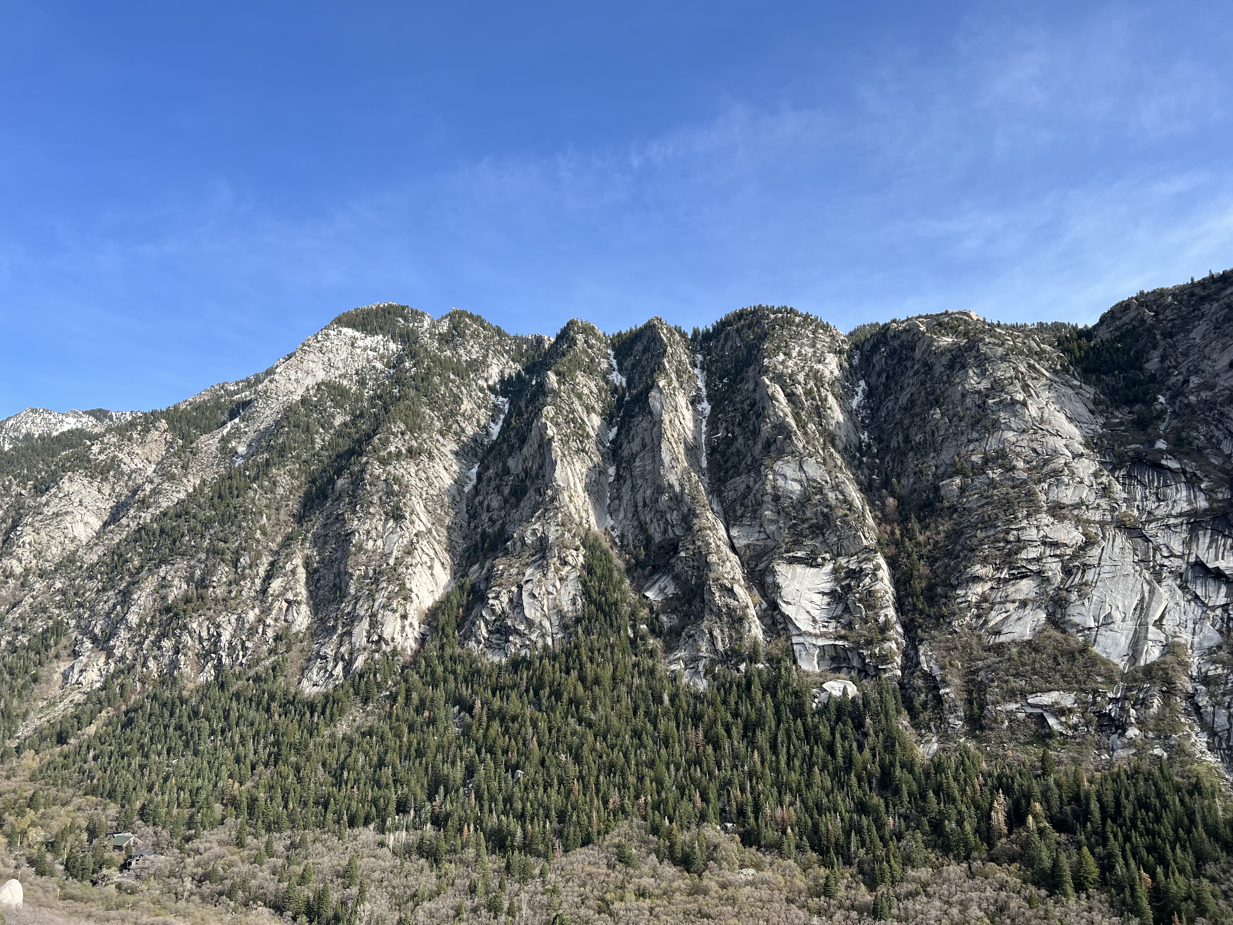
This is a journal of climbs and activities I enjoyed from May 1st-7th, 2022, climbing near Sandy, Utah in the Little and Big Cottonwood Canyons. Little Cottonwood Canyon has beautiful white granite, while adjacent Big Cottonwood Canyon has a completely different rock type.

I’d met a climber named Jesse at Strange Loop 2021, and he was going to be in Salt Lake City for PyCon at the end of April 2022. He was hoping to do some climbing in the area but his usual climbing partner wasn’t available, so he contacted me. I was happy to accept the invitation!

[Read More]
Trip Report: Mount Stuart via West Ridge

Alpine Lakes Wilderness, Central Cascades, WA, USA

Trip Report: Mount Stuart via West Ridge

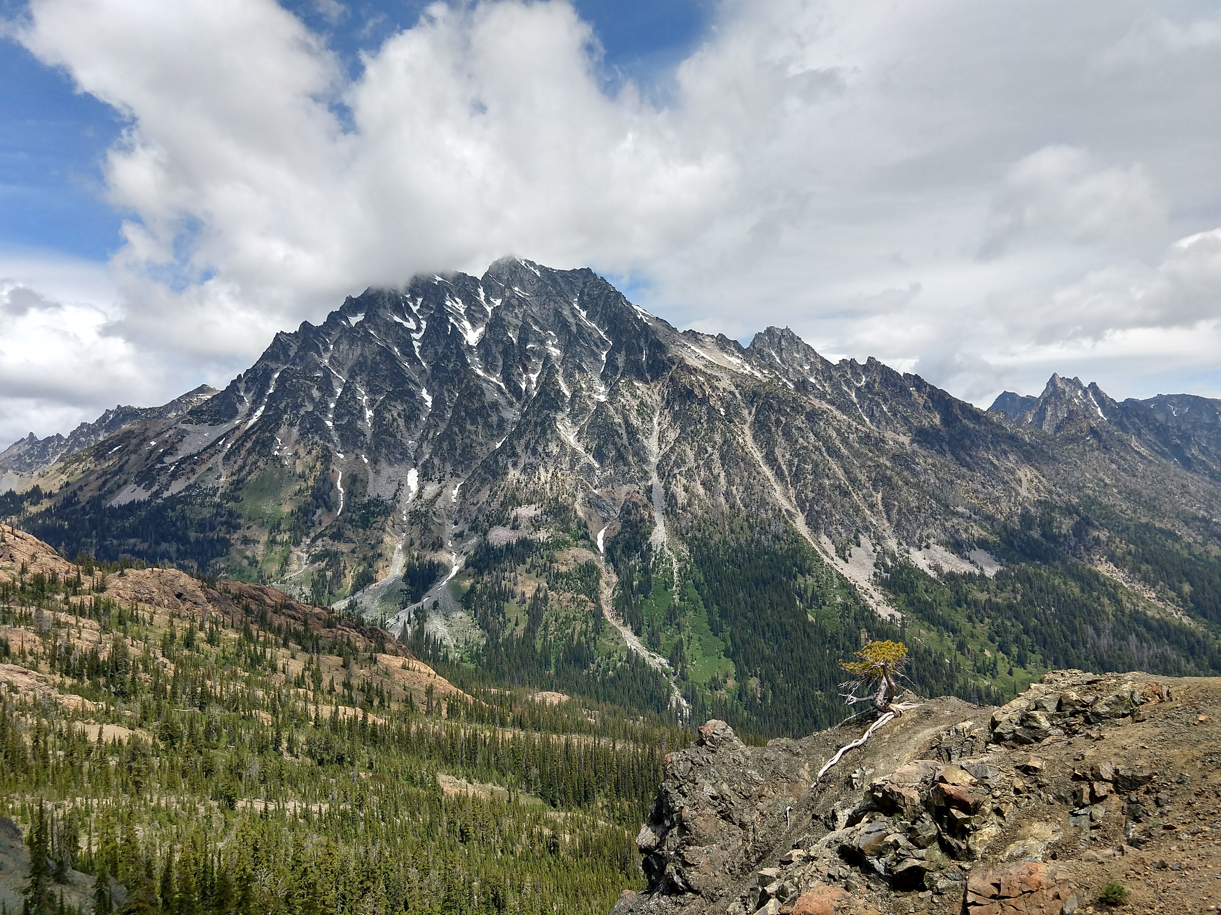
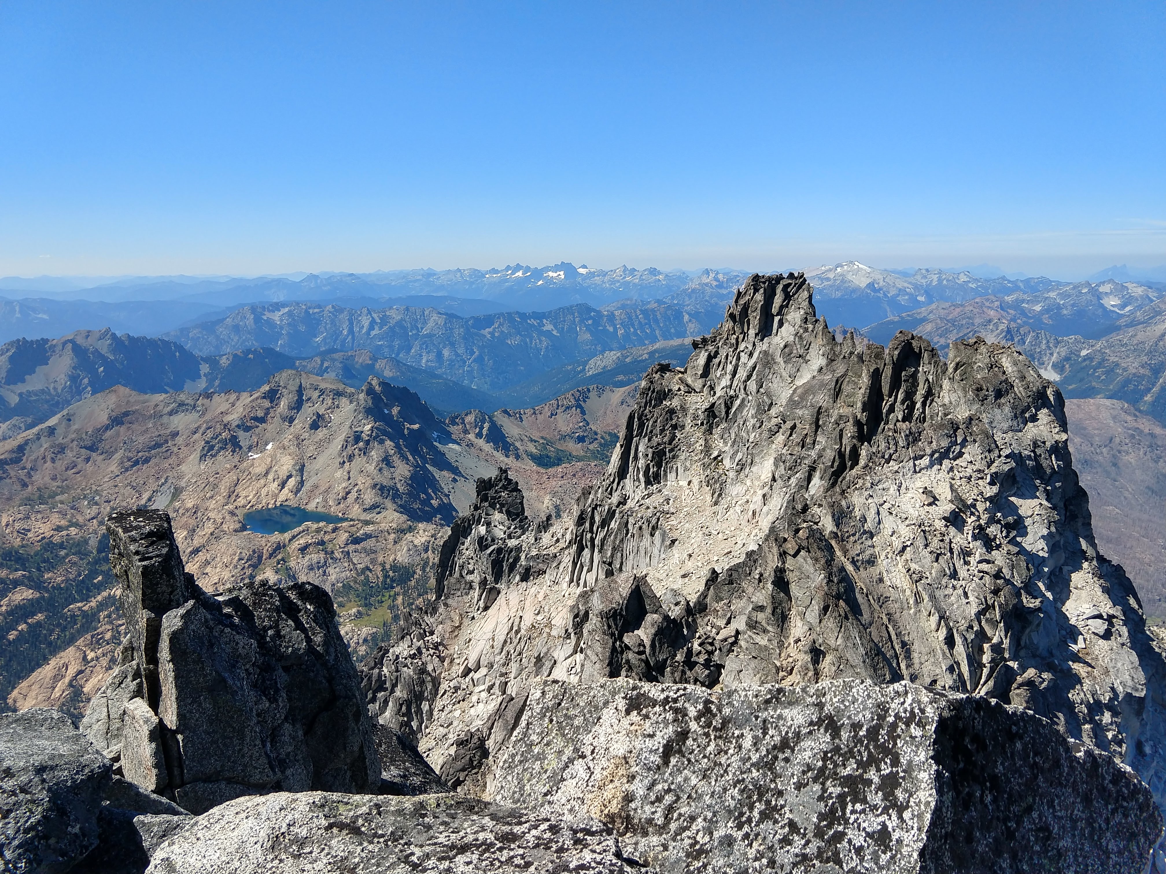
Mount Stuart is probably my favorite mountain in Washington. Tall, prominent, steep, visible from everywhere, and composed of beautiful black & white granite. After failing to summit via the Cascadian Couloir back in 2019 I was determined to flex my newfound trad climbing skills on the famous West Ridge route. However, there were some factors that made me nervous: I’d moved to Atlanta in June of 2020, and was a few hundred million years too late to experience the Appalachians as much more than rolling hills. This meant my legs hadn’t been exposed to a serious mountain for more than a year, and I also lacked significant recent scrambling exposure. I was worried my endurance or my nerves would give out. Finally, although I’d been putting in time on excellent trad crack routes around the southeast, I’d never put those skills to use in a multi-pitch alpine environment. As a novice trad leader I was also quite slow - and speed is safety in the mountains. Thankfully all went off without a hitch over the course of a 20 hour day and I had a tremendously good time! The joy of this route is captured in this video by a trail-running soloist:

[Read More]

Trip Report: The Enchantments

Alpine Lakes Wilderness, Central Cascades, WA, USA

Trip Report: The Enchantments

Republished from the WTA website here.

Put car snacks in a critter-proof container! We had some nice victory snacks stashed in the trunk at the Snow Lakes trailhead, but returned to find mice had gotten into them! Imagine me, stumbling down the endless Snow Lakes trail, wanting nothing more than chocolate peanut butter cups & white cheddar popcorn, only to have my dreams shattered.

Parked at Snow Lakes trailhead then took a shuttle up to Colchuck trailhead. Snow Lakes parking space was limited even on a Thursday morning. We had a two-person overnight permit for the core so stayed Thursday & Friday nights. Decided to hike out late Saturday night to avoid the Sunday rain. Took us five hours from Lake Viviane to Snow Lakes trailhead, moving at a fast pace.

[Read More]

Trip Report: Persis-Index Traverse

Central Cascades, WA, USA

Trip Report: Persis-Index Traverse

Republished from the WTA website here.

Hiked the Persis/Index traverse. Main takeaways:

  • Road is closed for logging 6 miles from the Persis trailhead; consider using a sturdy mountain bike on the approach.
  • Route is completely snow-free in late season, traction/ice axe/heavy boots unnecessary (early season has steep snowfield above 2000 ft cliff).
  • Huge amounts of blueberries mean black bears in area, bring appropriate food storage systems if staying overnight.
  • Consider bringing a lightweight 30m rope as a handline for going up/down one section of steep loose dirt.
  • Plentiful water sources from tarns on the first half of the traverse from Persis to Persindex, none from Persindex to Index.
  • We had cell service for most of the traverse.

We parked right off of Highway 2 at the start of NF-6200. This is an active logging road and is usually gated shut; don’t drive up if the gate is open, you’ll be locked in. Started at 5:20 am, biked six miles up gravel roads (2500 ft gain) to the Persis trailhead. We walked several sections because the road is quite steep. Had to move aside several times as logging trucks drove past. GPS is very helpful here because the road branches many times - it’s a maze back there!

[Read More]

Trip Report: Heliotrope Ridge

North Cascades, WA, USA

Trip Report: Heliotrope Ridge

Republished from the WTA website here.

Camped up on Heliotrope Ridge for two nights as part of a three-day ice skills class. Hike in wasn’t bad. The big river crossing is doable; recommend trekking poles and a pair of lightweight sandals to change into. Just focus your eyes on a fixed point (not the moving water!) and methodically place your feet as you move across the river. There are a couple of other minor river crossings which are doable with rock-hopping, but very difficult to avoid getting your feet wet so bring appropriate footwear.

[Read More]

Trip Report: Buck Mountain

Entiat Mountains, Central Cascades, WA, USA

Trip Report: Buck Mountain

Republished from the WTA website here.

Climbed Buck Mountain via High Pass route, a long winding 16-ish mile approach with some incredible views. Main takeaways:

  • Hiking boots probably fine
  • Never needed ice axe or traction
  • Many water sources along trail

Parts of the trail were indistinguishable from the enchantments, with light-colored granite slabs towering over pristine alpine lakes. Great views of Glacier Peak, Clark Mountain (with the Walrus Glacier!), Luahna Peak, Bonanza Peak, Dome Peak, Copper/Fernow/7-Fingered Jack/Maude, Buck Mountain itself, and many other peaks which would be notable in less star-studded topography. Wildflowers were out in force, especially lupines. You will see marmots, pikas, mountain goats, and a golden eagle or two.

[Read More]

Trip Report: Mount Stuart via Cascadian Couloir

Alpine Lakes Wilderness, Central Cascades, WA, USA

Trip Report: Mount Stuart via Cascadian Couloir

Republished from the WTA website here.

Attempted summit of Mount Stuart via Cascadian Couloir route, parking as Esmerelda Trailhead and approaching via Long’s Pass. Main takeaways:

  • Bring crampons
  • Consider summiting later in the day when the snow has softened
  • The summit will probably be covered in cloud until it burns off around noon
  • You need a national forest pass (or equivalent) to park at Esmerelda Trailhead

Began hiking at noon Saturday, intending to bivy around 7800-8200 feet then summit Sunday. Reached Ingals Creek in 2:15 pm; rested, hydrated, and loaded up with water (we assumed no water available on CC route). Encountered many climbers who had turned back due to morning snow conditions below false summit; most had only brought microspikes. One climber in microspikes had reportedly slipped & failed to self-arrest, sliding into rocks. They were banged up but able to walk themselves out. Snowpack was reported as one inch of soft snow over soft ice, and all said they felt insecure in microspikes and wished they had brought crampons. Almost exactly one year ago a climber died while descending that steep snow section, and it is notorious for claiming femurs.

[Read More]

Trip Report: Cannon Mountain

Alpine Lakes Wilderness, Central Cascades, WA, USA

Trip Report: Cannon Mountain

Loved this route so much I had to go back and do it again. Some friends had heard of our ascent the year prior and appreciated having me as a guide. Went two weeks earlier in the season this time, so dodged the snow but the larches weren’t fully turned. Since much of the route was the same as the last trip I’ll spare most of those details, covering only the differences.

[Read More]

Trip Report: Cannon Mountain

Alpine Lakes Wilderness, Central Cascades, WA, USA

Trip Report: Cannon Mountain

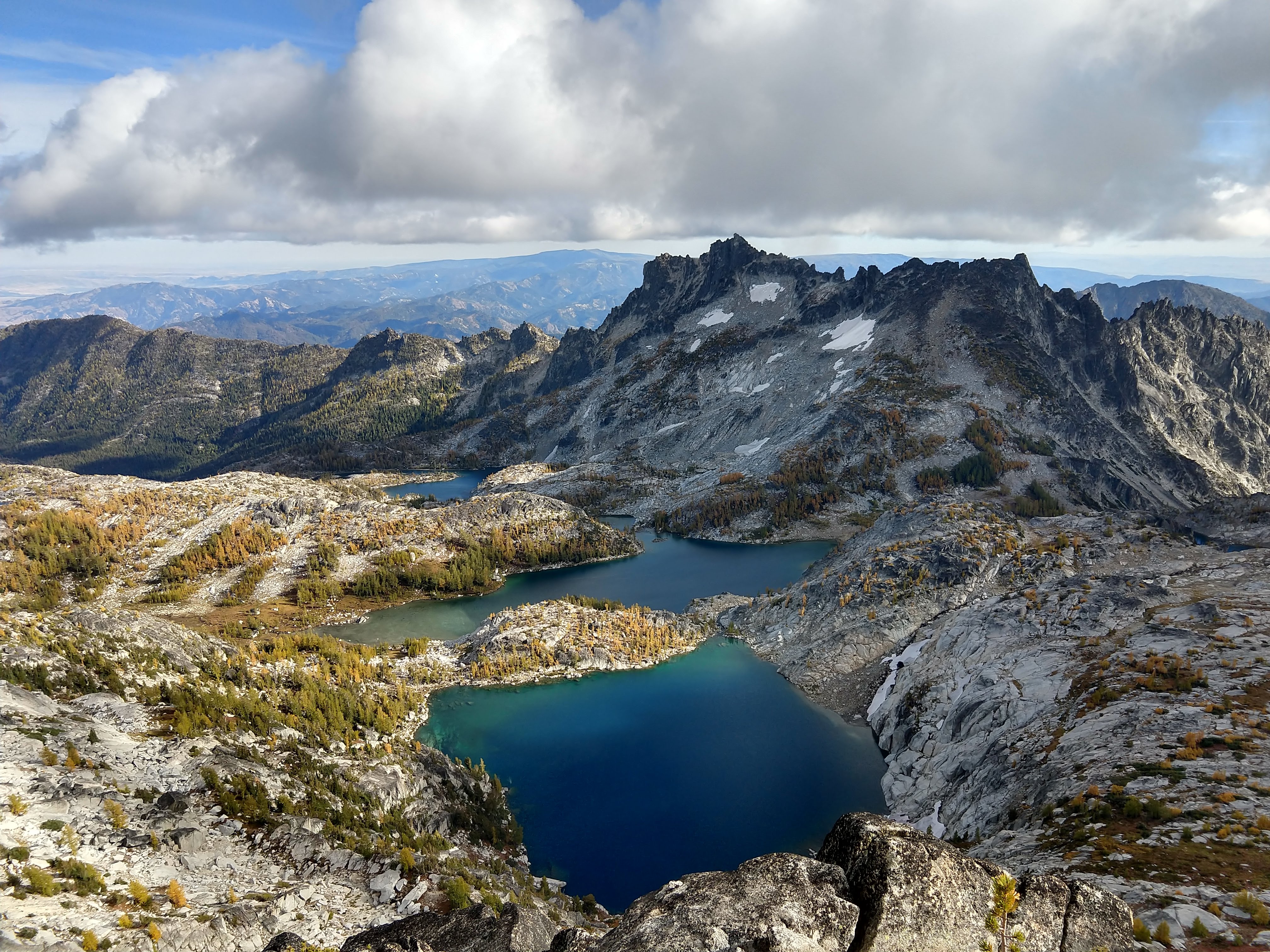
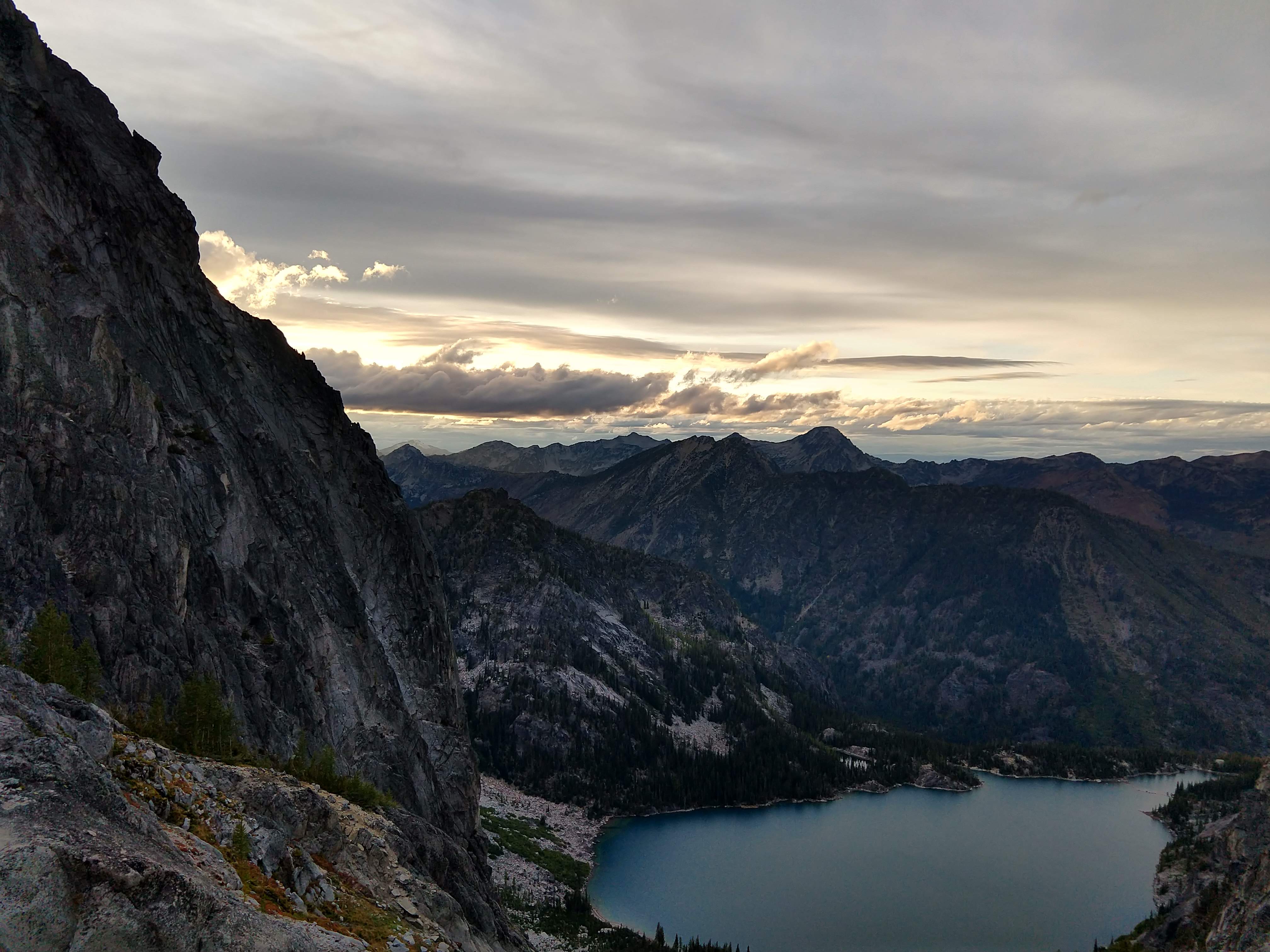
The Enchantments is a wildly popular hiking & climbing area in Washington, just outside the town of Leavenworth. The standard hike starts from Colchuck Lake trailhead, past the eponymous lake, up Aasgard Pass, through the upper then lower Enchantments, then slogs out to the Snow Lakes trailhead. We decided to take a different route: starting from Colchuck Lake trailhead, we’d follow the trail for several miles along the flat section until hitting the bridge to cross over the river. We’d then turn off-trail due East and scramble straight uphill to get to Cannon Mountain, a lesser-climbed peak in the area. From there we’d drop back down into the main Enchantments area and descend Aasgard pass to return to Colchuck Lake trailhead. One really unique & beautiful aspect of The Enchantments is the larch trees, deciduous conifers that turn a brilliant gold color in the fall. Unfortunately there is a very short window between the larches turning color and the snow coming in to make experiencing them much more miserable. We hoped to hit that window; alas, we were a few days late!

[Read More]

Trip Report: Hidden Lake Lookout

North Cascades, WA, USA

Trip Report: Hidden Lake Lookout

Republished from the WTA website here.

Summary

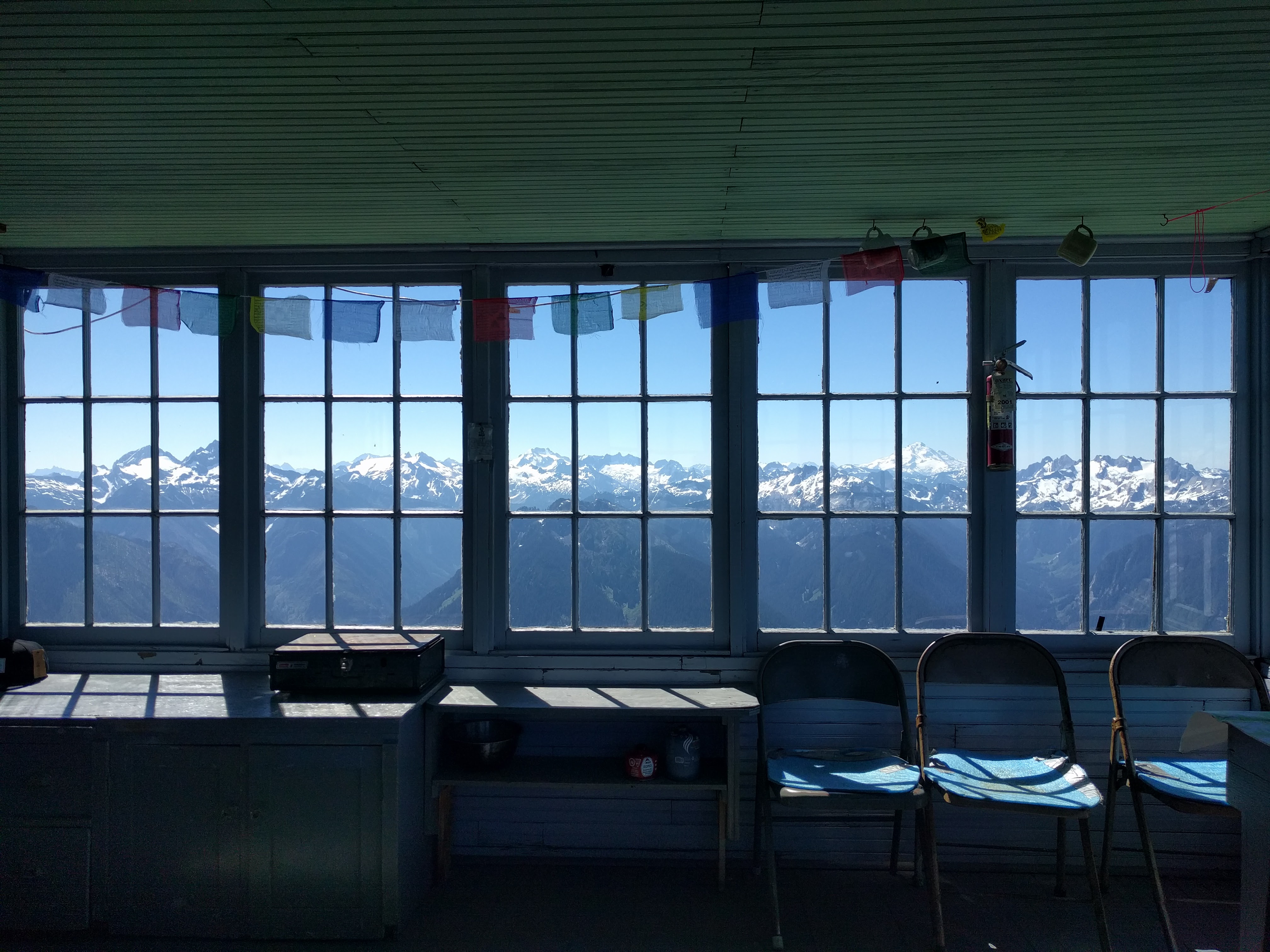
A very rough road leads to the trailhead. No parking or camping permits required. There is a long middle section with switchbacks through thorny plants without any shade. Water sources are plentiful. Horseflies were annoying. Many flat sites are available for camping, but beware one in an active rockfall area. Snow is easily traversible without microspikes or even trekking poles. There is only one latrine on the entire mountain, which is only easily accessible from the lookout. Arrive to the summit before noon if you want a fighting chance of staying in the lookout on weekdays (weekends are a whole other ball game). Hike difficulty comparable to Mount Si. Views are incredible.

[Read More]